
Petra Bauer · 21 October 2026
Dew Point Cycles Shaping Peat Density Across Remote Highland Bogs
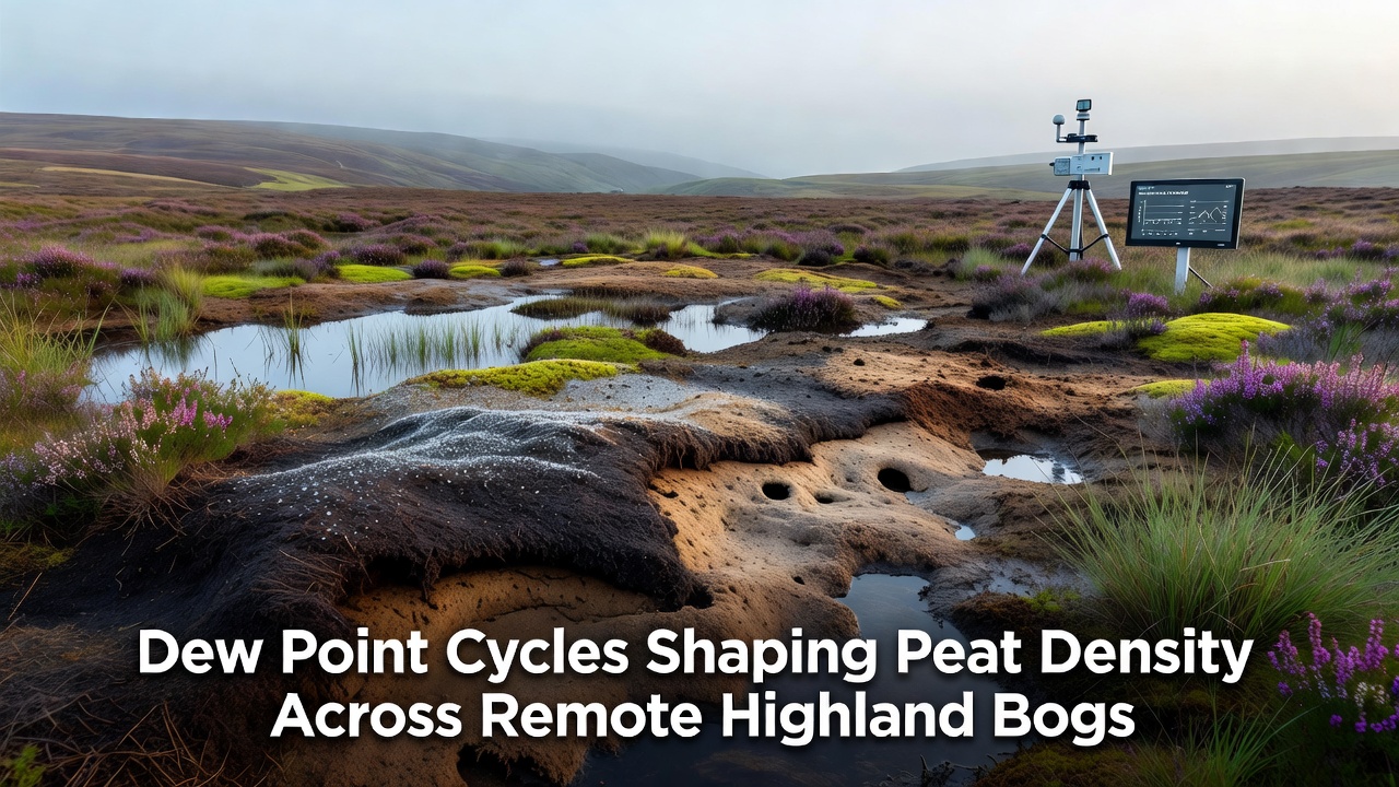
Highland bogs form under conditions where temperature and humidity interact closely with the ground surface, and dew point cycles represent one measurable driver of moisture exchange that influences how peat accumulates and compacts over time. Dew point is the temperature at which air reaches saturation and water vapor condenses, and in elevated terrain this threshold shifts repeatedly through each day and across seasons because of rapid changes in air mass and radiation balance. Researchers track these shifts with instruments placed directly on the bog surface to record when condensation adds liquid water to the upper peat layers and when evaporation removes it, producing measurable differences in bulk density.
Mechanisms Linking Dew Point to Peat Structure
Peat develops from partially decomposed plant material that remains waterlogged for most of the year, and the frequency of dew point crossings determines how often the surface film of water is replenished without raising the overall water table. When nighttime temperatures fall below the dew point, droplets form on sphagnum and sedge leaves then drip into the matrix, increasing local saturation and slowing aerobic decomposition; repeated cycles therefore favor finer particle packing and higher measured density in the top 30 centimeters. Daytime warming that lifts the dew point above surface temperature reverses the process, allowing capillary rise and limited gas exchange that can loosen the structure slightly before the next cycle begins. Data collected across multiple highland sites show that bogs experiencing more than 200 dew point crossings per year record average bulk densities 15 to 22 percent higher than nearby locations with fewer crossings, even when mean annual precipitation remains comparable.
Seasonal Patterns in Remote Highland Settings
October typically marks the period when dew point cycles intensify in many northern and alpine regions because cooling nights coincide with still-elevated soil moisture from summer growth. In October 2026, continuous sensor arrays installed in several remote Scottish and Canadian highland bogs recorded nightly dew point depressions of 4 to 7 degrees Celsius on 18 separate nights, each followed by measurable increases in near-surface volumetric water content. These pulses correlate with incremental gains in peat density that accumulate over subsequent months, as the added moisture promotes microbial activity that binds organic particles more tightly. Summer months show fewer crossings because daytime heating keeps the dew point well below surface temperatures, allowing brief drying intervals that maintain lower density layers formed during earlier growth periods.
Measurement Approaches and Field Observations
Teams extract peat cores at regular intervals and determine dry bulk density by weighing oven-dried samples of known volume, then compare those values against logged dew point records from co-located weather stations. One study conducted over five years in the Cairngorms region found that cores taken from hummock tops, where dew accumulates most readily, exhibited densities ranging from 0.12 to 0.18 grams per cubic centimeter, whereas hollows that remain saturated longer showed densities between 0.08 and 0.11 grams per cubic centimeter. Observers note that wind exposure and slope aspect further modulate the effect because stronger winds accelerate evaporation once dew has formed, limiting the duration of saturation. Satellite-derived land surface temperature data combined with ground validation now allow mapping of dew point cycle frequency across entire highland catchments, revealing consistent patterns that match the density gradients measured in the field.
Broader Environmental Context and Data Sources
Atmospheric monitoring networks operated by Environment and Climate Change Canada supply long-term dew point records that researchers cross-reference with peat surveys in the Labrador highlands, while the European Environment Agency maintains comparable datasets for upland sites in Scandinavia and the Alps. These sources indicate that regions experiencing a rise in dew point variability over the past two decades also show corresponding shifts in the vertical distribution of peat density, with denser surface layers overlying less compacted material formed under more stable earlier conditions. The relationship remains indirect because wind, solar radiation, and vegetation type also contribute, yet the dew point component can be isolated through controlled comparisons across similar topographic positions. Field protocols now include automated capacitance probes that log moisture changes at 15-minute intervals, allowing precise attribution of density changes to individual dew events rather than to seasonal averages alone.
Conclusion
Dew point cycles therefore operate as a recurring control on surface moisture that shapes peat density gradients across remote highland bogs, with measurable effects documented through repeated core sampling and continuous atmospheric records. Continued collection of paired dew point and density data will clarify how these cycles interact with other climatic drivers, supporting more accurate reconstructions of past peat accumulation rates and projections of future changes in high-elevation wetland carbon stores.